UN
52 Meadoway
£ 130,000
Description
We don't have a Description for this property.
- Bedrooms
- 3
- Bathrooms
- 0
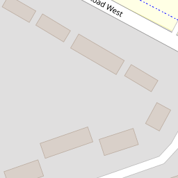
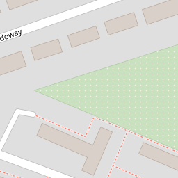

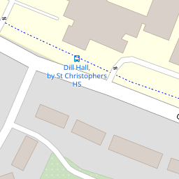
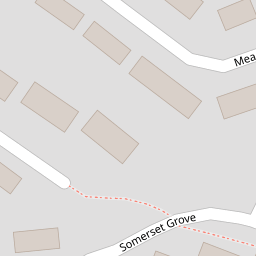

Leaflet © OpenStreetMap contributors
The heatmap indicates the level of crime in the area. The color of the heatmap indicates the crime severity and recency.
Metrics Year-on-Year
- Average area value
- 261,822.00 £Decreased by 14.93 %
- Average area rental value
- 1,072.00 £/moIncreased by 3.57 %
- Est rental Yield
- 4.91 %Increased by 21.53 %
- Crime Rate
- 11.00 %Unchanged by 0.00 %
from 307,765.00 £
from 1,035.00 £/mo
from 4.04 %
from 11.00 %
Nearby Schools
| Name | Type | Ofsted | Distance |
|---|---|---|---|
| Sure Start Hyndburn - Church & West Accrington Childrens Centre | Children's Centre | 0.28 KM | |
| Accrington St Christopher'S Church Of England High School | Academy Converter | Good | 0.29 KM |
| Accrington Hyndburn Park Primary School | Community School | Good | 0.57 KM |
| St Nicholas Church Of England Primary School | Voluntary Aided School | Good | 0.61 KM |
| Accrington Academy | Academy Sponsor Led | Good | 0.79 KM |
Images
Nearby Streets
| Name | Average Price | Average Sqft | Distance |
|---|---|---|---|
| Queensway | £ 130,000 | 0 | 0.00 KM |
| Barrington Court | £ 89,950 | 0 | 0.00 KM |
| Regent Road | £ 145,000 | 0 | 0.00 KM |
| Banbury Close | £ 0 | 0 | 0.00 KM |
| Malvern Close | £ 100,000 | 0 | 0.00 KM |
Nearby Transport
| Name | NLC | TLC | Distance |
|---|---|---|---|
| Accrington | 2552 | ACR | 1.38 KM |
| Church And Oswaldtwistle | 2556 | CTW | 1.65 KM |
| Huncoat | 2558 | HCT | 3.79 KM |
| Rishton | 2580 | RIS | 4.49 KM |
| Hapton | 2557 | HPN | 7.35 KM |
Nearby Listings
| Address | Price | Type | Score | Distance |
|---|---|---|---|---|
| Queensway, Church, BB5 | £ 120,000 | BUY | 6 / 10 | 0.10 KM |
| Meadoway, Church | £ 130,000 | BUY | 7 / 10 | 0.18 KM |
| Buckingham Grove, Church, Accrington, Lancashire, BB5 | £ 130,000 | BUY | 5 / 10 | 0.21 KM |
| Dill Hall Lane, Church, Accrington | £ 225,000 | BUY | 6 / 10 | 0.33 KM |
| Dill Hall Lane, Church, BB5 | £ 185,000 | BUY | Unknown | 0.38 KM |
Nearby Properties
| Address | Price | Distance |
|---|---|---|
| 7 Meadoway | £ 53,000 | 0.00 KM |
| 48 Meadoway | £ 78,000 | 0.00 KM |
| 32 Meadoway | £ 50,000 | 0.00 KM |
| 43 Meadoway | £ 78,000 | 0.00 KM |
| 52 Meadoway | £ 130,000 | 0.00 KM |